From Detection to Decision: The Future of Maritime Intelligence
Delivering clarity, control, and foresight needed to manage maritime operations with confidence and precision..
Backed by:
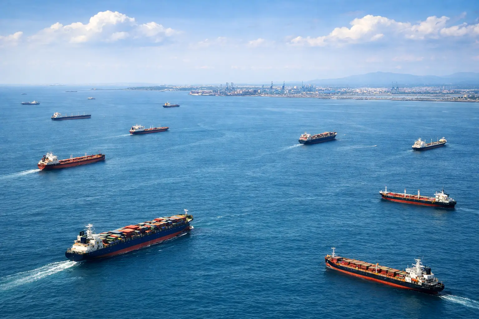
The Strategic Imperative of Maritime Surveillance
In today’s maritime domain, the greatest risk lies in what cannot be seen. Traditional monitoring systems, built for a cooperative environment, are increasingly challenged by vessels that operate without transparency.
Non-cooperative behavior, deliberate deception, and the sheer scale of global traffic have created gaps that limit visibility and control.
Effective maritime surveillance is no longer a matter of passive observation. It requires an active, intelligent approach to build a complete operational picture, one that restores awareness, strengthens decision-making, and safeguards interests at sea.
Why is it a critical Necessity
Safeguards the key routes of global trade that connect manufacturers with markets.
Mitigates risks to maritime trade routes, ensuring the timely delivery of goods and preventing major economic losses.
Strengthens national sovereignty through enhanced control of territorial waters and borders.
Detects and disrupts illicit maritime activities before they can compromise national interests.
Protects vulnerable marine ecosystems from illegal and unregulated exploitation.
Provides early warning to prevent or reduce environmental incidents such as oil spills and pollution.
Maritime Domain Challenges
Core Capabilities
Precision Management for Forests and Green Spaces
A Mission to Power Maritime Protection with Advanced Intelligence
Maritime security today faces evolving challenges, from illegal fishing and asset vulnerability to environmental violations that threaten global stability. The sheer scale of the oceans and the limited visibility of vessel activity create significant information gaps. Traditional satellite imagery offers valuable coverage, yet extracting meaningful intelligence from this data requires time, precision, and expertise.
At Pandion AI, our mission is to empower your existing operations by closing these critical gaps. We enhance, rather than replace, your current systems with advanced machine learning and maritime-focused analytics. Our technology complements satellite data sources by automatically identifying and classifying vessels, transforming raw imagery into actionable operational intelligence. Built on a foundation of domain expertise and adaptive algorithms, our system delivers scalable, verifiable insights tailored to your specific needs, enabling decision-makers to act with greater confidence and clarity.
Built by experts, for experts
Monitoring large, distributed areas is expensive and hard. Organizations responsible for forests, coastlines, power grids, and critical infrastructure already invest significantly in aerial, periodic surveys and on-the-ground inspections - yet informational gaps remain. Risks develop gradually, and by the time they are visible through conventional methods, the window for early intervention has often passed. Our customers know this challenge well.
PandionAI was founded by a team with direct experience across remote sensing, applied AI, and intelligence analysis. That background informs everything: how the platform is designed, how alerts are structured, and how information is delivered to fit within and complement existing operational workflows rather than replace them. The focus has always been on providing timely, reliable intelligence that supports decisions - not on adding complexity.
We work with organizations that cannot afford to miss what matters. What we build reflects that responsibility.