Loading satellite data…

Actionable intelligence from satellite data, worldwide. Built in Stockholm, Sweden. Named for the osprey, Pandion haliaetus, whose sharp eye misses nothing.
© 2026 PandionAI. All rights reserved.
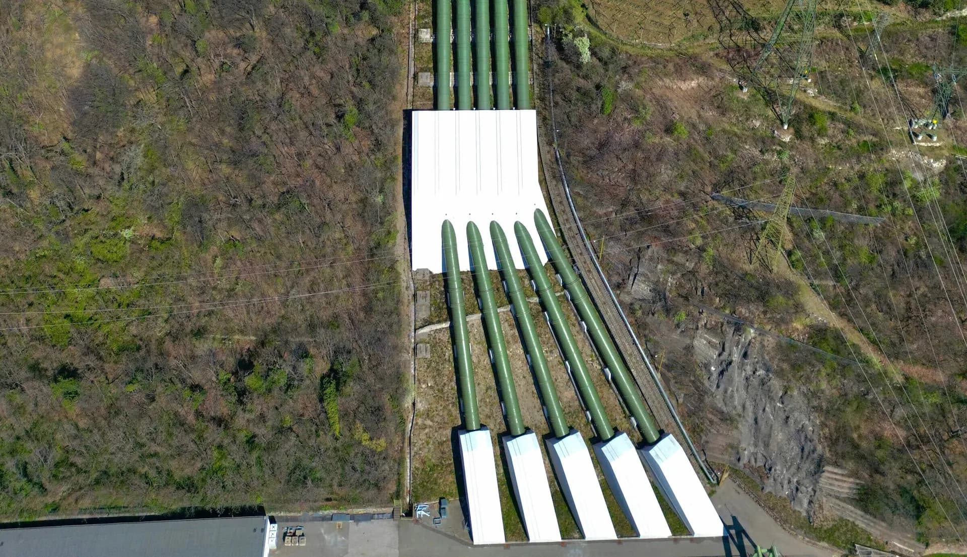
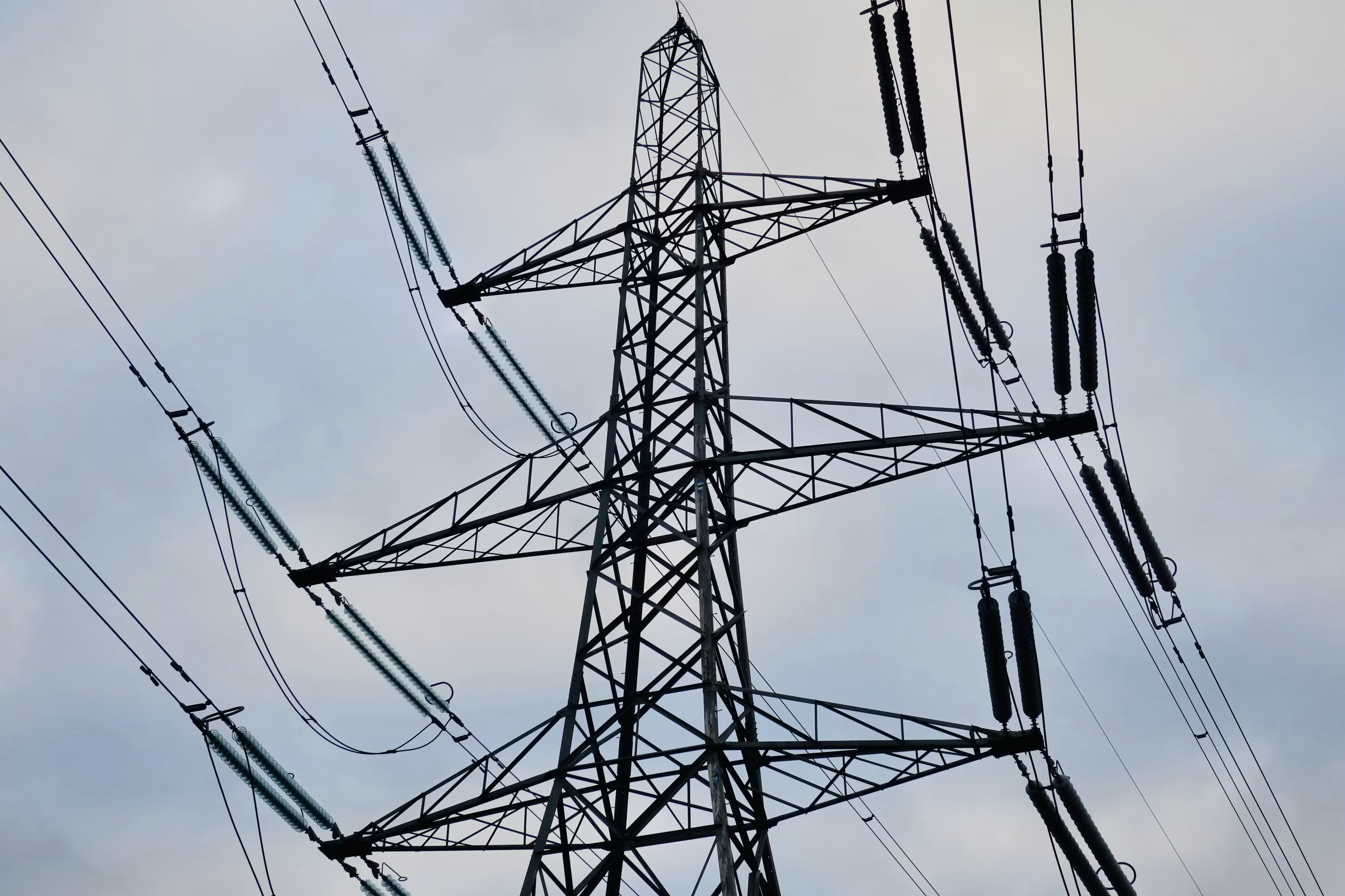
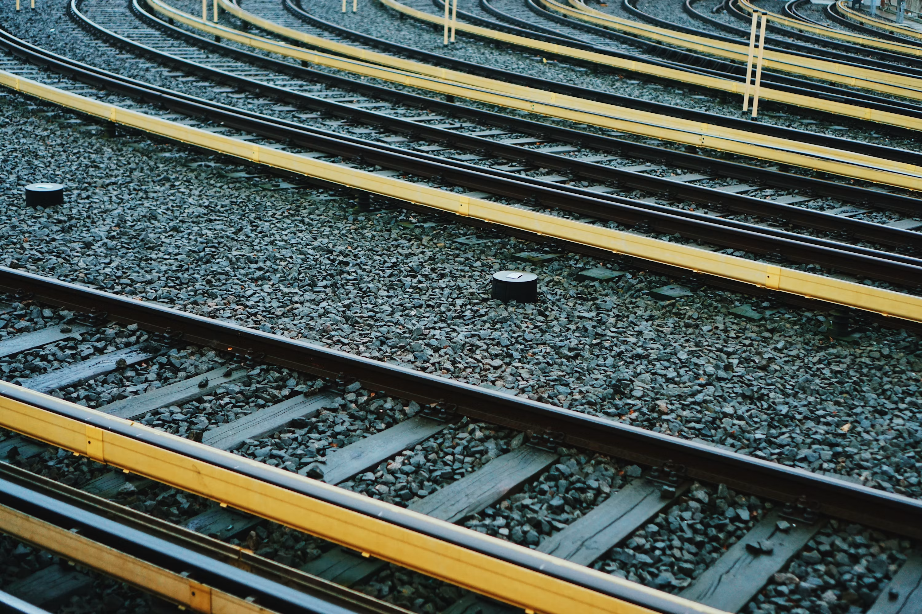
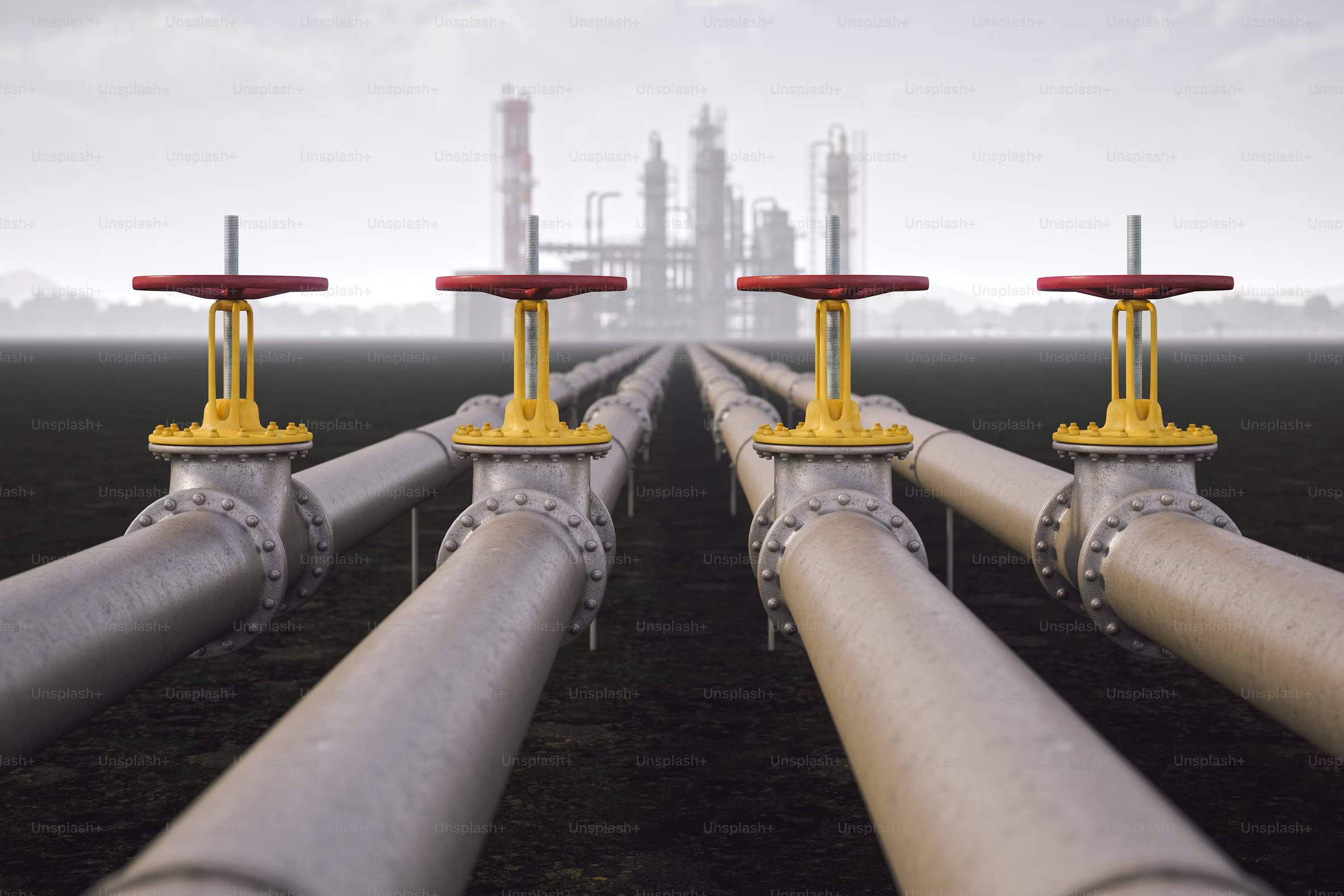
Continuous monitoring along the full length of assets — potentially thousands of kilometres a day — including remote and inaccessible locations.
Distinguishes real structural concerns from normal environmental changes, turning anomalies such as vegetation encroachment and subsidence into targeted alerts.
Identifies unauthorised construction, excavation or vehicle activity near restricted assets and rights of way.
Documented record of asset condition and encroachment over time, supporting compliance, insurance claims and liability protection.
Connects with GIS databases, sensor networks and work-order or ERP systems for one operational picture, with two-way feedback and query.
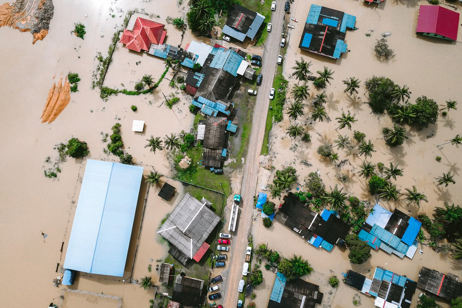
InSAR radar tracks ground movement through cloud, smoke and darkness, complementing optical assessment of storm and flood damage.