Loading satellite data…

Actionable intelligence from satellite data, worldwide. Built in Stockholm, Sweden. Named for the osprey, Pandion haliaetus, whose sharp eye misses nothing.
© 2026 PandionAI. All rights reserved.
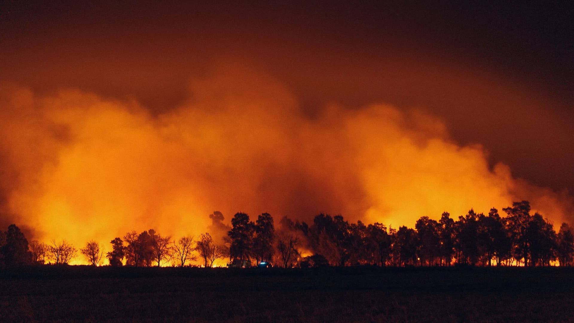
Continuous monitoring across vast, remote regions, catching both visible and obscured ignitions early.
Multi-source verification to distinguish genuine fire activity from benign heat sources, so teams receive focused, reliable alerts.
Alerts go beyond a mere fire/no-fire flag, reporting location, burn extent and spread direction to help prioritise a response.
Detections plotted against maps of existing infrastructure, flagging critical facilities under threat.
Delivered in structured formats that slot into existing systems, through email, SMS, API, GIS plugins and the AlertSat portal.
Thermal sensing and redundant multi-sensor coverage maintain detection through smoke, haze and canopy, with transparent confidence ratings.