Loading satellite data…

Actionable intelligence from satellite data, worldwide. Built in Stockholm, Sweden. Named for the osprey, Pandion haliaetus, whose sharp eye misses nothing.
© 2026 PandionAI. All rights reserved.
Combines optical imagery, all-weather radar and structural data for a reliable view and verified alerts, avoiding reliance on a single source.
Alerts, estimates and monitoring results connect directly to GIS, ERP or asset management tools via API.
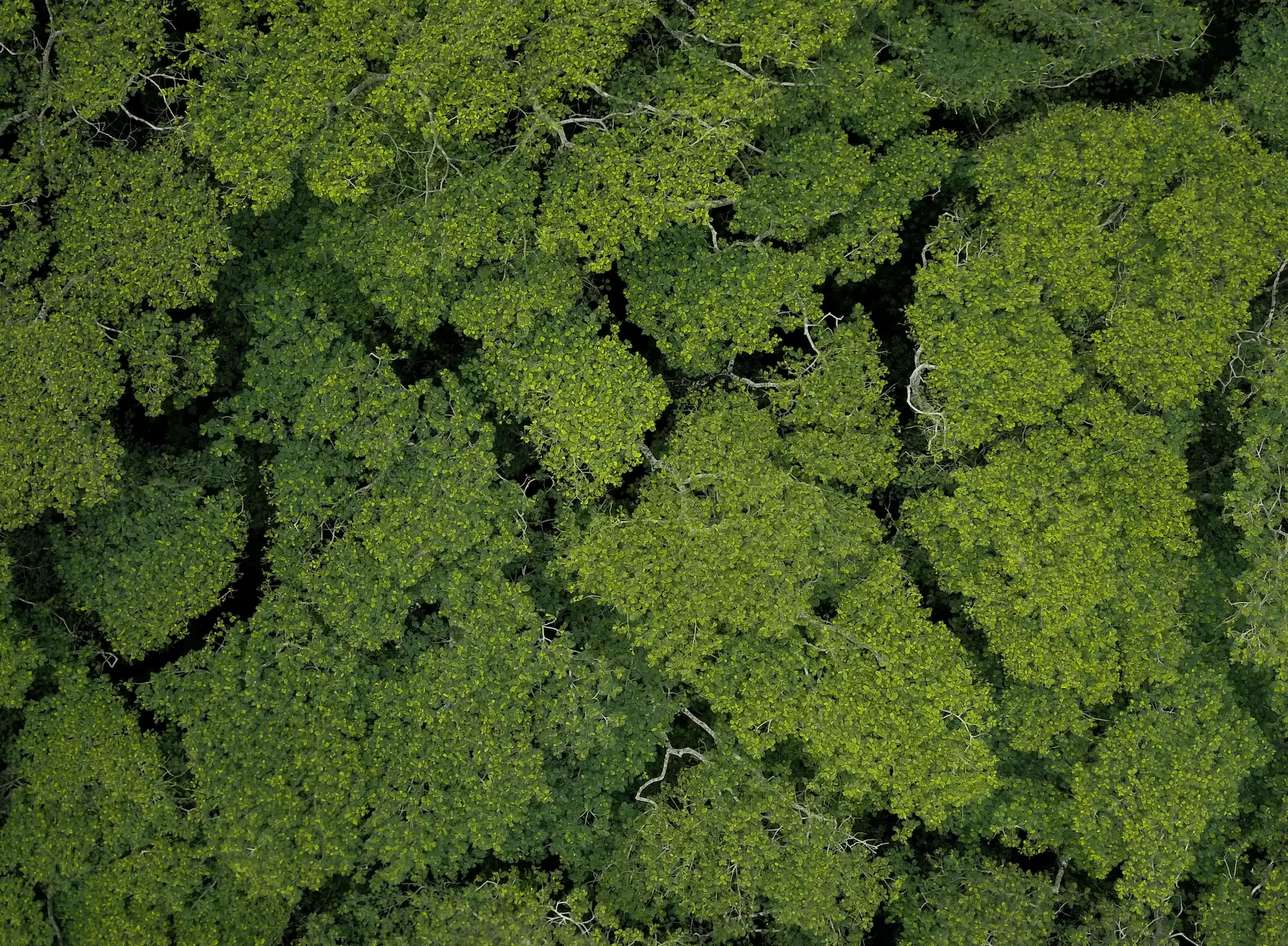
Detects selective harvesting, early-stage regrowth and subtle vegetation change often missed by lower-resolution data, besides measuring canopy height and cover.
Flags early signs of storm damage, pest stress or drought impact, directing field teams to high-stress zones so losses are caught before they spread.
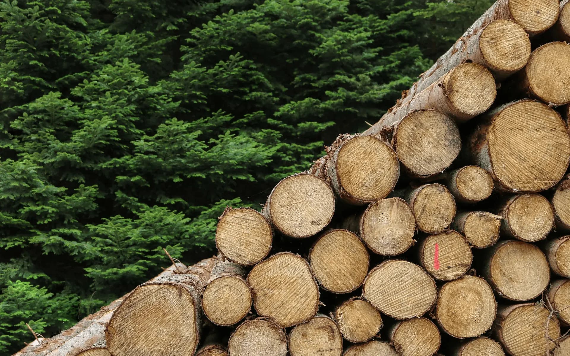
Detects unauthorized logging, encroachment and unexpected land-use change across remote or dispersed holdings.
Identifies fallen trees, damaged infrastructure and blocked access routes, in order to prioritise safer, better-targeted repairs.